What Is NDVI and How Is It Used in Agriculture?
NDVI is a vegetation index used to assess the overall condition of vegetation.
Read Article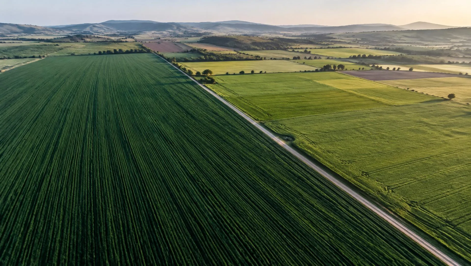
AGRICULTURAL DATA & DECISION TECHNOLOGIES
DroVision combines drones, multispectral imaging, remote sensing and agricultural data analysis with agronomic expertise to deliver decision support for crop production.
Partnership for Drone Operators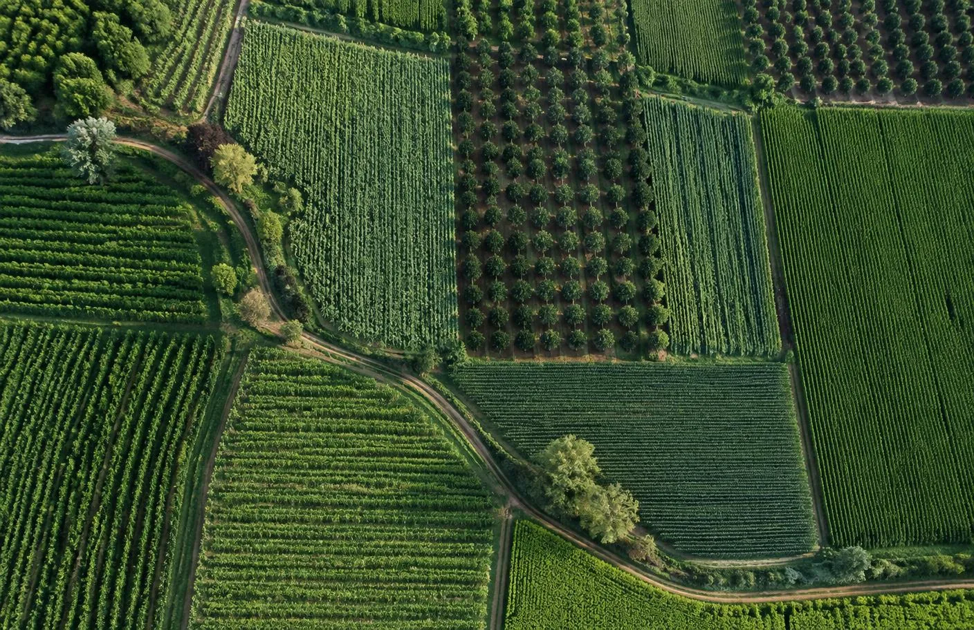
WHAT IS DROVISION?
In modern agriculture, the right decision depends on the right data.
DroVision analyses imagery and sensor data from agricultural land, revealing crop development, stress zones, variability and potential problem areas.
But our work doesn't end there. We interpret the data with agronomic expertise and turn it into a real agricultural decision that growers and agricultural professionals can act on.
Get to Know UsWe collect the right data.
We turn data into meaningful information.
We interpret data with agronomic knowledge.
We deliver actionable agricultural outcomes.
FROM DATA TO APPLICATION
Every step is connected: collected data is analysed, interpreted with agronomic knowledge and turned into an actionable decision.
Drones, multispectral imaging and other suitable data sources.
Images are processed and agricultural analyses prepared.
NDVI, NDRE, development, stress and other required analyses.
Maps are interpreted with agronomic knowledge and field context.
Problem zones and priority areas are identified.
Outputs are prepared for VRA, spot application or field intervention.
Post-application re-imaging and comparison can be carried out.
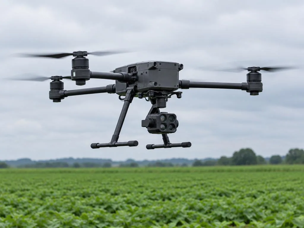
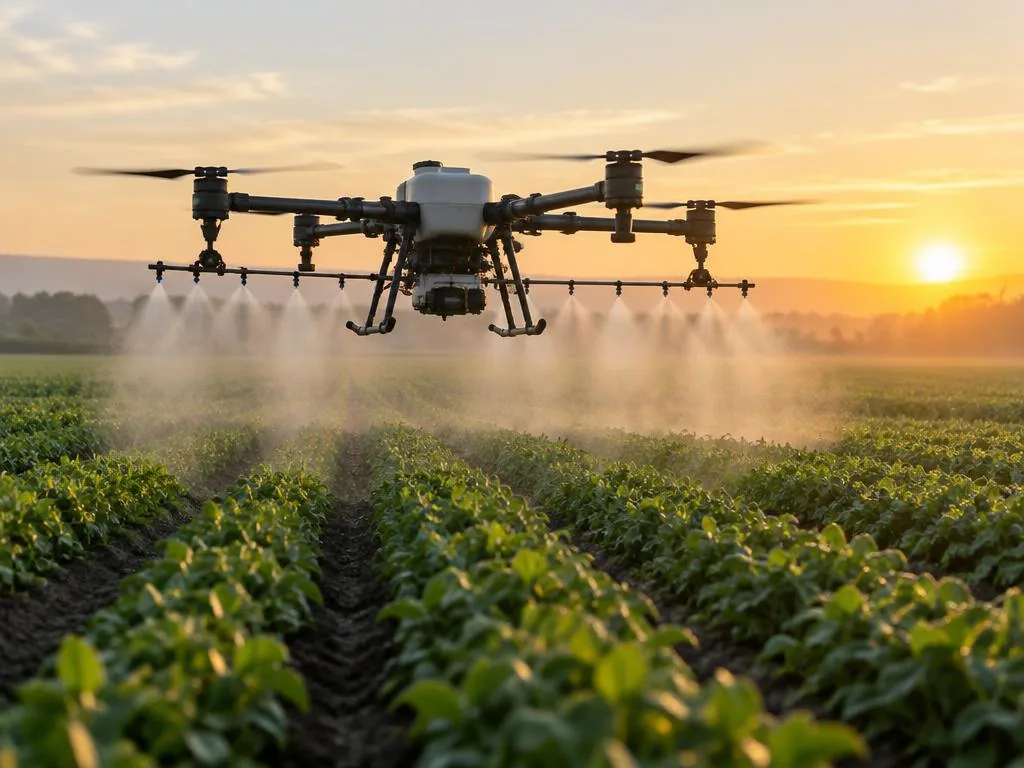
A drone is one of the tools for data collection and application. At the core of DroVision are always data, analysis, agronomy and decisions.
WHAT WE DO
Fit-for-purpose data, agronomic assessment and application-ready outputs.
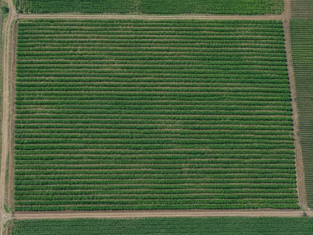
01 / IMAGING
Digital imaging and analysis of agricultural land.
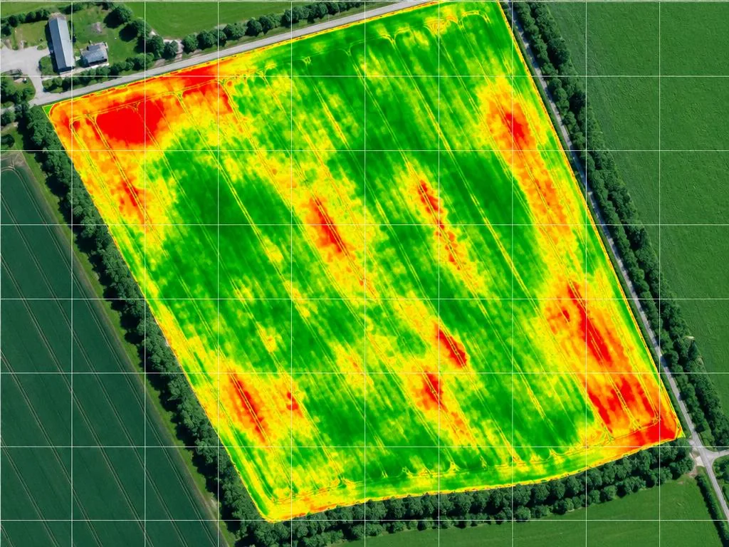
02 / INTERPRETATION
Interpreting data with agronomic expertise.
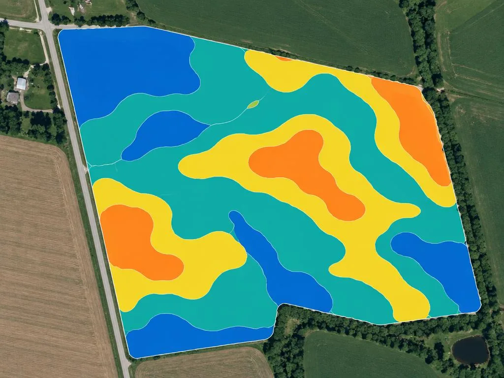
03 / APPLICATION
We turn analysis directly into precision agriculture application.
04 / PARTNERSHIP
Complete your drone operations with the power of data.
BEYOND WHAT THE EYE CAN SEE
The same field, step by step: from a standard image to multispectral analysis, from agronomic interpretation to application.
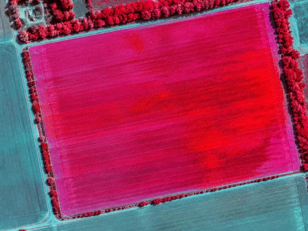
Images are representative sample analyses.
WE READ THE DATA
NDVI, NDRE, development and stress analyses are not just colourful maps — they are a starting point showing where to look in the field.
Explore AnalysesANALYSIS CAPABILITIES
Reveals overall vegetation vigor and variability across the field.
Helps assess crop development and chlorophyll differences in greater detail.
Tracks growth and development differences through the season.
Under suitable conditions, helps assess emergence and plant density.
Prioritises areas that need field scouting.
Compares uniform and uneven development areas within the field.
Locates potential issues on the map.
Prepares zone-based data outputs for variable rate application.
Supports directing intervention only where it is needed.
Monitors development by comparing data from different dates.
OUR FIELDS OF WORK
SEASONAL FIELD MONITORING
Instead of a single image, we track how the field changes throughout the season.
DROVISION GALLERY
Crops, fields and analysis outputs — this is what agriculture looks like from the sky.
Analysis-type images are representative sample analyses.
DROVISION PARTNER
You run the flight operations in the field. DroVision processes and analyses the data and turns it into a report your client can use.
DroVision Partner ProgramWHY DROVISION?
DroVision's approach is built not only on technology, but on agriculture.
We bring agricultural engineering, field experience, agricultural drone technology, remote sensing and precision agriculture together in one decision process.
Our ApproachKNOWLEDGE HUB
NDVI is a vegetation index used to assess the overall condition of vegetation.
Read ArticleNDRE uses the red-edge band to support the study of differences in crop development.
Read ArticleThey provide additional field insight by collecting data from bands the human eye cannot distinguish.
Read ArticleLET'S WORK TOGETHER
Tell us what you need and we'll evaluate the right approach with you.